Low 14°c (57°F) – High 30°c
(86°F)
438km
It was a big day today and of course just the morning you sleep late! But we managed to get ourselves together and out the gate by 9.00am after farewelling a lovely young couple of ladies who we’ve been chatting with over the past couple of days, travelling with their dog “Woodley” and their cat!
We are now 2 weeks into our trip and we both feel as though that time has gone quickly, maybe because we’ve travelled so far in that time trying to get out of the rain in the first week. I think also perhaps because we have already seen much of this part of the trip previously as well. The day started out pretty warm and reached a high of 30 which was a bit of a shock to the system. Only one night earlier we had to put the heating on to warm up the van before bed and first thing in the morning with quite cold temperatures. Today the air conditioning went on as soon as we set up camp.
We passed the marker for the Tropic of Capricorn, the circle of latitude that contains the subsolar point at the December solstice. It is the southernmost latitude where the Sun can be seen directly overhead. Once again the landscape changes significantly and the very long straight stretches of road making it a very long and tiring trip. We stopped here and there for a break along the way just to refresh and give Miss Kitty the same opportunity.
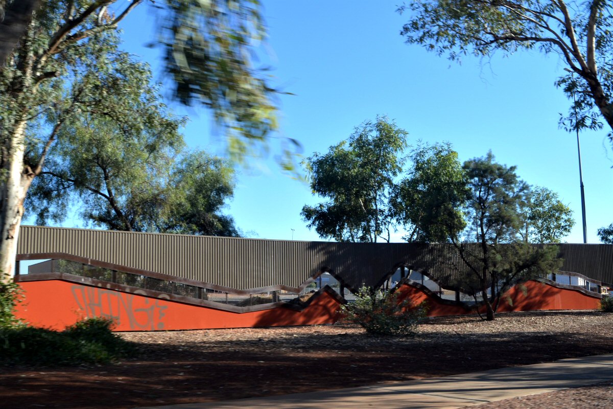
One of our favourite spots along this section is Aileron and the amazing giant statues depicting an aboriginal man, woman and child. Aileron roadhouse also has a great little camping ground as well that we didn’t schedule into this trip. Each time we have travelled up the centre I’ve tried to plan different stopping points to change the experience a little. We like to make each one as unique as we can in this way with a couple of exceptions. There is also an art gallery located beside the Aileron roadhouse but unfortunately every time we’ve passed by this way it has never been open. Notable also is the artwork on many of the roadhouses all along the Stuart Highway - some humorous and others just colourful and interesting.
Some of the cloud shapes have been interesting today and I swear a few looked like sky writing but I have to say it was a bit ominous when one of them looked like it read "Arthritis" 😉
Along most of this stretch of road the speed limit is again 130km/hr so it’s strange to see corner limit signs that read 100.
One of our break stops included the Barrow Creek Hotel, constructed during 1930-1932, which offers fuel, a kiosk, bar and accommodation. It was the earliest hotel constructed between Alice Springs and Tennant Creek and retains many of its original and early features including the cellar, patterned cement blockwork, pressed tin ceilings, and most of the windows and doors. Aside from the hotel being of architectural and historical value, it also holds an interesting place in Australian history. On 14 July 2001, it became a vital part of one of the Australian outback's most horrific and mystifying crimes when Bradley John Murdoch stopped a VW Kombi van driven by English traveller, Peter Falconio, and persuaded him to leave the vehicle, shot him, tied up Falconio's girlfriend Joanne Lees who, miraculously, managed to escape, hide in the scrub along the highway, and was eventually picked up by a truck driver who took her 13km south to the Barrow Creek pub where the police were alerted. The film “Wolf Creek” was ambiguously marketed as being "based on true events", with its plot baring elements reminiscent of the real-life murders of backpackers by Ivan Milat in the 1990s and Bradley Murdoch in 2001, both of which were used as inspiration for the screenplay.
Barrow Creek was named in 1860 by John McDouall Stuart after J H Barrow, a member of the South Australian Parliament. Beside the hotel is the historical Barrow Creek Telegraph Station reserve which is one of 15 telegraph stations that formed the network from Port Augusta to Port Darwin and has considerable historical value. The stone buildings were originally constructed in 1872 and have been restored. The site for the Telegraph Station was chosen in September 1871 by John Ross' Overland Telegraph exploring party, which was assessing Stuart's route to set up a telegraph line through Central Australia. The site was chosen due to the presence of surface water and for a well site of about 10 to 12 feet. By 1880 the station was very much in its present form with an elaborate stone fence, wagon shed, blacksmith's hut, cemetery and a verandah on the western side of the main building.
I only took a couple of photos of the telegraph station from the side because two couples had pulled up with their camper trailers right beside the front fence, blocking access to the building, completely covering the signage and access to the gate, and proceeded to have their lunch. There is so much parking in close proximity to the building without blocking access for others that this was unnecessary – we see so many instances of people completely self absorbed and lacking courtesy to others while travelling its mind boggling. I made a comment to this effect and one of the guys said “Are we blocking your way – we can move?” - but seriously – as if anyone was going to feel comfortable asking four people having their lunch to get two vehicles to be moved in order to take a photo. Just don’t park there in the first place people!!! {see “shakes head in complete disbelief” here}.
We pulled in to Wycliffe Well roadhouse and caravan park just after 2.00pm. We have stayed here before on our first trip in 2016 and sadly it has deteriorated since then. When we first moved to Barongarook around 2000 and had satellite television due to being in an area that didn’t pick up the free tv stations, Imparja was one of the channels we used to watch regularly. Imparja is based in Alice Springs and many of the advertisements shown became so familiar to us over the years that when we travelled to the area it was as though we knew so much about many of the places and stores in the area. One of the advertisements at the time was for the Wycliffe Well Caravan and Adventure park. The park boasted a large dam surrounded by a train track with a train & carriage that took families throughout the park. It had a small zoo, picnic areas, an indoor pool, and a huge conference centre that catered for some 250 people.
The property obviously has access to a good water supply as sprinklers are still used to water a grassed area at the front of the park, but the rest is just tired and upkeep is obviously at a bare minimum. I don’t know why but I feel such a sense of longing for this to be restored – if I was rich it would be on my list of projects to tackle. Looking at the success of Daly Waters Pub and a few other notable places dotted along the highway, I’m sure this too could be a thriving location if only someone loved it a little.
After getting set up we decided to take a trip out to Karlu Karlu (the Devils Marbles) to watch the sunset and enjoy the ambiance of the area. Along the way we came across the reason why it’s not a great idea to drive these roads at night, particularly at speed. Much of the highway is unfenced cattle stations and cattle often meander up the road – day and night. We haven’t seen too many fresh roadkills in recent days but there are plenty of carcasses lying at the side of the road to remind you of the possibility. Most of these poor animals meet their fate at the hand of the roadtrains which stop for nothing at night.
Karlu Karlu, which translates to ‘round boulders’, is another one of those must see spots and would have been a sensational experience at dusk had it not been for a young couple with a very young child which obviously needed sleep and whined and cried for something like an hour and a half that we were there. In the end we gave up and left but managed to take a few shots of the sunset while we were there and a few photos at the Devils Marbles Hotel on the way back.